Have you ever felt that pull? The one that says you need to get outside, feel the wind, and see something new. For me, that feeling almost always leads to my bike. It's not just about exercise; it’s about changing my perspective, one pedal stroke at a time. My bike feels like my own personal transformation machine.
I started Litter Caterpillars because I needed to clean up my own life, literally and figuratively. I found that cleaning up other people's messes was way easier, and it connected me with incredible, giving people. That same spirit of transformation and discovery is what I chase on a bike trail in Illinois. It's a feeling of freedom and purpose rolled into one. You're not just moving through a landscape; you're moving through your own thoughts, finding clarity with every mile.
This isn't just another list of trails. This is a collection of my favorite places to find that feeling-places where you can ride, reflect, and maybe even find a piece of yourself you didn't know was there.
I’ll walk you through the very best paths the state has to offer, from Chicago’s iconic lakefront to the quiet, tree-canopied tunnels of Southern Illinois. For each trail, I'm sharing everything you need to know:
- The practical details: distance, difficulty, and surface type.
- My personal stories: what I love about each spot.
- How to get there: trailheads, parking, and transit options.
- Ways to give back: connections to Litter Caterpillars volunteer events nearby.
Think of this as your personal guide to your next great adventure. Let’s get rolling and find your new favorite bike trail in Illinois.
1. Chicago Lakefront Trail
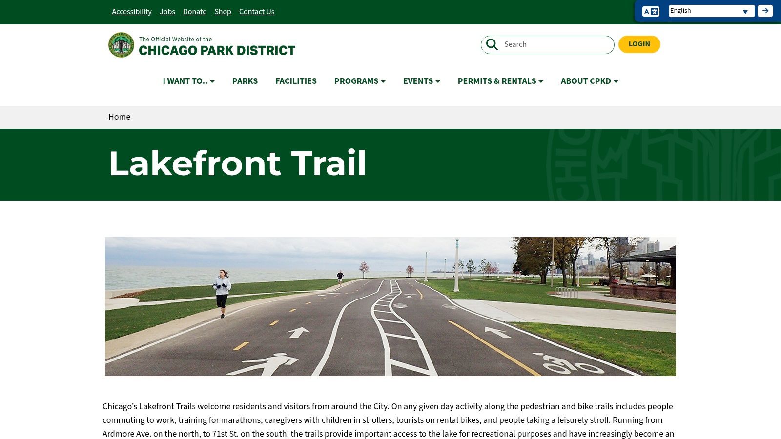
To ride the Chicago Lakefront Trail is to feel the city’s pulse. This isn't just a path. It’s the main artery of Chicago's cycling soul, an 18-mile ribbon of pavement unspooling between the iconic skyline and the vast, freshwater sea of Lake Michigan. I’ve found that no two rides here are ever the same. You become part of a moving mosaic of commuters, marathon trainers, families, and tourists, all sharing this incredible public space. It's a journey that feels like watching a highlight reel of Chicago itself, gliding past world-class museums, sandy beaches, bustling harbors, and serene nature sanctuaries.
I once started a ride at the southern terminus at dawn. I watched the sun climb over the lake and set the skyscrapers ablaze with golden light. It was one of those unforgettable moments that solidifies your love for this city. That's the magic of the Lakefront Trail; it’s more than just a place to pedal, it's a shared experience connecting millions of us to the water, the sky, and each other.
Planning Your Ride
The Chicago Park District website is your essential co-pilot for any Lakefront adventure. It’s a no-frills, practical resource that gives you exactly what you need to plan your outing.
- Section Maps: The site provides clear maps that break the 18-mile trail into manageable sections. I use these to plan shorter rides, deciding whether I want the architectural grandeur of the downtown segment or the quieter, more natural feel of the south shore.
- Access & Facilities: You can easily find info on parking, restroom locations, and water fountains. Multiple CTA and Metra stops are located just blocks from the trail, making a car-free trip completely doable.
- Alerts: I check the website for any closures or detours, especially after big storms when wind and waves can wash sand and debris onto the path.
Why It Belongs at #1
What makes this the premier bike trail in Illinois is its sheer energy and accessibility. It's a continuous, car-free path that offers unparalleled views and a seamless connection through the heart of the city. While it can get crowded on beautiful weekend afternoons, recent improvements have separated bike and pedestrian paths along most of its length, which has made a huge difference in safety and flow. The trail is free and open 24/7, though parks and beaches along the route close at 11 PM. If you're looking for another great urban ride that offers a different kind of scenery, you can explore the wooded escape of the Des Plaines River Trail for a more rustic experience.
Visit the Chicago Park District's Lakefront Trail Page
2. Illinois Prairie Path
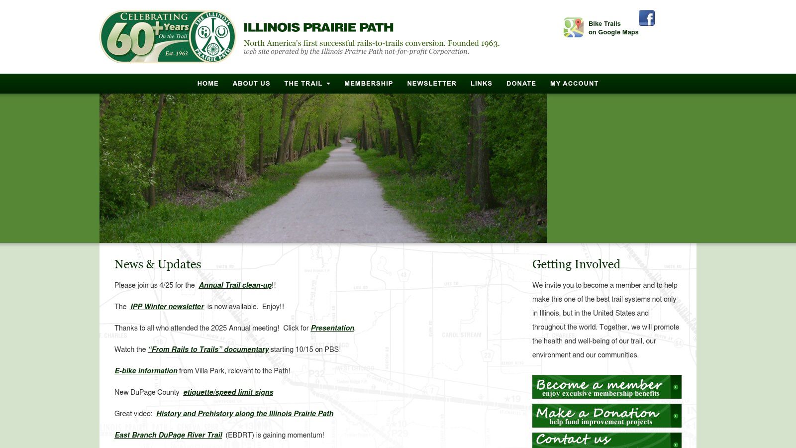
If the Lakefront Trail is the city’s pulse, the Illinois Prairie Path is its quiet, contemplative breath. This trail is a different kind of Illinois journey, a 60-mile network that trades skyscrapers for leafy canopies and the roar of traffic for the crunch of limestone under your tires. I think of it as a time machine. As you pedal along this historic rail-to-trail conversion, you're rolling through the very corridors that once connected the suburbs to the city, passing through charming town centers that feel preserved in amber. It’s a ride that encourages you to slow down, to notice the wildflowers, and to feel a connection to the state’s pioneering spirit.
My favorite rides on the Prairie Path involve making a day of it. I’ll pick a branch, ride from one town to the next, grab lunch at a local cafe, and then pedal back. It feels less like training and more like exploring. The path connects you to the authentic, everyday life of suburban Chicago, offering a peaceful, low-stress escape that’s incredibly accessible. This is where you go to clear your head and cover some serious, uninterrupted miles.
Planning Your Ride
The official Illinois Prairie Path website (ipp.org) is the definitive guide for this sprawling network, run by the very nonprofit that stewards the trail. It’s a passion project, and it shows, offering everything you need to plan a successful ride.
- Interactive Maps: The site's greatest strength is its detailed map, which clearly shows the Main Stem and its offshoots like the Aurora, Elgin, and Batavia spurs. I use this to visualize longer routes and see exactly how the path connects to Metra stations or other trails.
- Trail Conditions & News: This is your source for real-time information. You can check for any temporary closures, detours, or even find out about volunteer cleanup events. I see it's kept up-to-date by people who genuinely care about the path.
- Access Points: The website lists numerous trailheads and access points, often with details on parking. I find it most useful for planning point-to-point rides using the Metra, as it helps me locate the nearest station to hop on or off the trail.
Why It Belongs at #2
The Illinois Prairie Path earns its spot as a top-tier bike trail in Illinois for being a monumental achievement in conservation and recreation. It’s one of America’s first rail-to-trail successes, providing a massive, mostly flat, and car-free greenway for long-distance riding. While the crushed limestone surface is best for hybrid or gravel bikes, it’s a forgiving and scenic ride. The path’s genius is how it links dozens of communities, allowing you to create countless ride variations. For another excellent example of a suburban trail connecting multiple towns, you can check out the paved and forested Old Plank Road Trail south of the city.
Visit the Illinois Prairie Path's Official Website
3. Fox River Trail
If the Lakefront Trail is the city's pulse, the Fox River Trail is its gentle, flowing breath. This corridor is where I go to escape the urban grid and follow the current. Spanning more than 40 miles along the beautiful Fox River, it connects a string of charming river towns like a thread of pearls, from Algonquin down to Aurora. The scenery shifts constantly but gracefully. One moment you're gliding through a dense forest preserve with a canopy of green. The next you're rolling past a historic dam or crossing an old steel truss bridge into a town center. It's a trail of discovery, with each bend in the river revealing something new.
I remember a perfect fall afternoon ride starting in St. Charles, with the leaves just starting to turn. I stopped for a coffee, then rode south towards Batavia, the low sun glinting off the water. The path is a social one, shared with families and fellow cyclists, but it never feels crowded. You feel connected to the towns and the nature that thrives between them. That’s the real appeal of the Fox River Trail; it’s a journey that feels both invigorating and incredibly peaceful.
Planning Your Ride
The Fox Valley Park District website is your primary resource for navigating this extensive trail system. While it's a municipal site, I've found it to be surprisingly helpful for planning longer, multi-town rides, offering the core details you need to set out with confidence.
- Trail Maps & Access: The site offers downloadable maps that show the trail's route, major trailheads, and key access points within towns like Batavia, Geneva, and St. Charles. I use these to plan my entry and exit points, especially when I'm meeting up with friends.
- Connections: A key feature is understanding how the Fox River Trail links to other major routes. You can see exactly where it intersects with the Illinois Prairie Path and the Great Western Trail, which lets you plan epic, multi-trail adventures.
- Facilities & Parks: The website provides information on the various forest preserves and parks along the route. This is essential for locating parking, restrooms, and picnic areas, making it easy to plan a full day out.
Why It Belongs at #3
The Fox River Trail earns its spot as a top bike trail in Illinois for its incredible variety and accessibility. It delivers a perfect blend of natural scenery and small-town charm that you just can't find on a city path. The trail is mostly paved or crushed limestone, making it suitable for all kinds of bikes and skill levels. Its length and numerous access points mean you can ride for 5 miles or 50. While certain segments through towns can get busy, the sheer scale of the trail means you can always find a quiet stretch. For a similar long-distance experience with a more historic, railroad-grade feel, try exploring the Illinois Prairie Path, which conveniently connects to this trail.
Visit the Fox Valley Park District's Trail Page
4. Cal-Sag Trail
There's a gritty, determined beauty to the Cal-Sag Trail. A path forged where industry and nature meet. This isn't a ride through manicured parks. It’s a 26-mile journey along the Calumet-Sag Channel, telling a story of the region's working past and its ecological renewal. I find this trail offers a different kind of inspiration. It’s a long, straight shot that allows you to get into a rhythm, to just pedal and think, watching as barges glide by and herons stalk the wetlands. It feels real, powerful, and deeply connected to the South Side's spirit of endurance and transformation.
My favorite part of the Cal-Sag is its honesty. You'll pedal past old industrial sites, then suddenly find yourself in a quiet, restored prairie within a forest preserve. This contrast makes you appreciate the resilience of nature and the dedication of the people who envisioned and built this greenway. It’s less crowded than the lakefront. This makes it perfect for those days when you need to clear your head and just put in the miles.
Planning Your Ride
The Cal-Sag Trail's official website is a testament to the community spirit behind the trail. It's built and maintained by advocates, and their passion shines through in the practical, rider-focused information they provide.
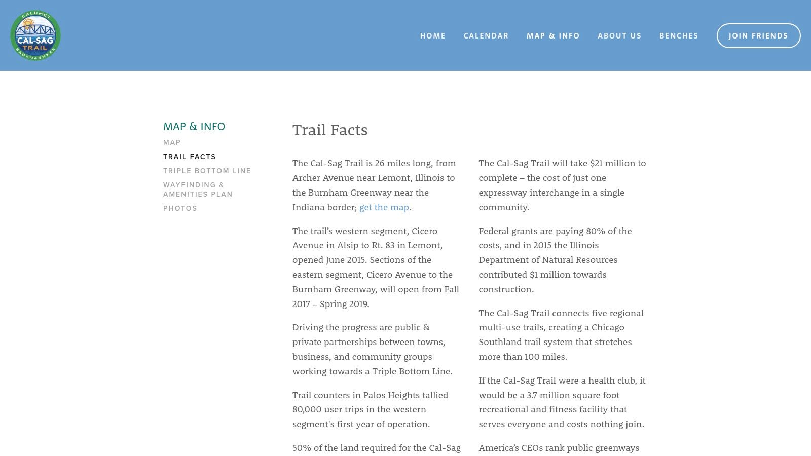
- Trail Facts & Map: The "Trail Facts" page is your primary resource. It has a clear, interactive map showing the full route, trailheads, and crucial connection points to other trail systems like the I&M Canal Trail. I use it to plan my entry points, whether I'm starting in Lemont or further east.
- Parking & Access: The site clearly marks parking locations at various forest preserves and access points along the 26-mile stretch. This is essential, as services are more spread out than on urban-center trails.
- Event Information: Because the trail is a favorite for group rides, I've noticed the website often lists organized events and volunteer opportunities. It’s a great way to connect with the local cycling community.
Why It Belongs at #4
The Cal-Sag Trail earns its spot as a top bike trail in Illinois because it provides a fantastic corridor for serious, uninterrupted riding. It’s a long, paved, and relatively flat path that’s ideal for training and building endurance away from tourist crowds. Its real strength is its role as a super-connector, linking dozens of communities and vast networks of forest preserve trails in the Palos region. The trail is free and open from sunrise to sunset. While you will encounter some road crossings and a few windy, open sections, the feeling of discovery and connection to this unique landscape is well worth it. For another ride that mixes natural beauty with historic infrastructure, consider checking out the I&M Canal State Trail which connects directly to the Cal-Sag.
Visit the Cal-Sag Trail's Trail Facts Page
5. Illinois & Michigan (I&M) Canal State Trail
Riding the Illinois & Michigan Canal State Trail is like pedaling back in time. This isn't just a path through nature. It's a 61.5-mile journey along the very towpath where mules once pulled barges down a canal that changed American history. You can feel the quiet importance of the place as you glide on the crushed limestone, paralleling the calm waters of the canal. The ride connects you to a story of industrial ambition and westward expansion, with original locks, aqueducts, and historic canal towns dotting the route from Rockdale to LaSalle. It’s a beautifully serene and historically rich experience.
I remember a long weekend I spent bike-packing a large portion of the trail. The steady rhythm of the pedals on the flat terrain became almost meditative. Passing by a hulking, silent lock tender's house and then bursting out into an open prairie with the Illinois River bluffs in the distance creates a powerful sense of scale and history. This trail offers a deeper, quieter kind of ride, one that connects you to the landscape and the stories buried within it.
Planning Your Ride
The Illinois Department of Natural Resources (DNR) website for the I&M Canal is your primary source for planning this historical expedition. It’s a straightforward, functional site that gives you the core details you need to prepare for a day trip or a multi-day adventure.
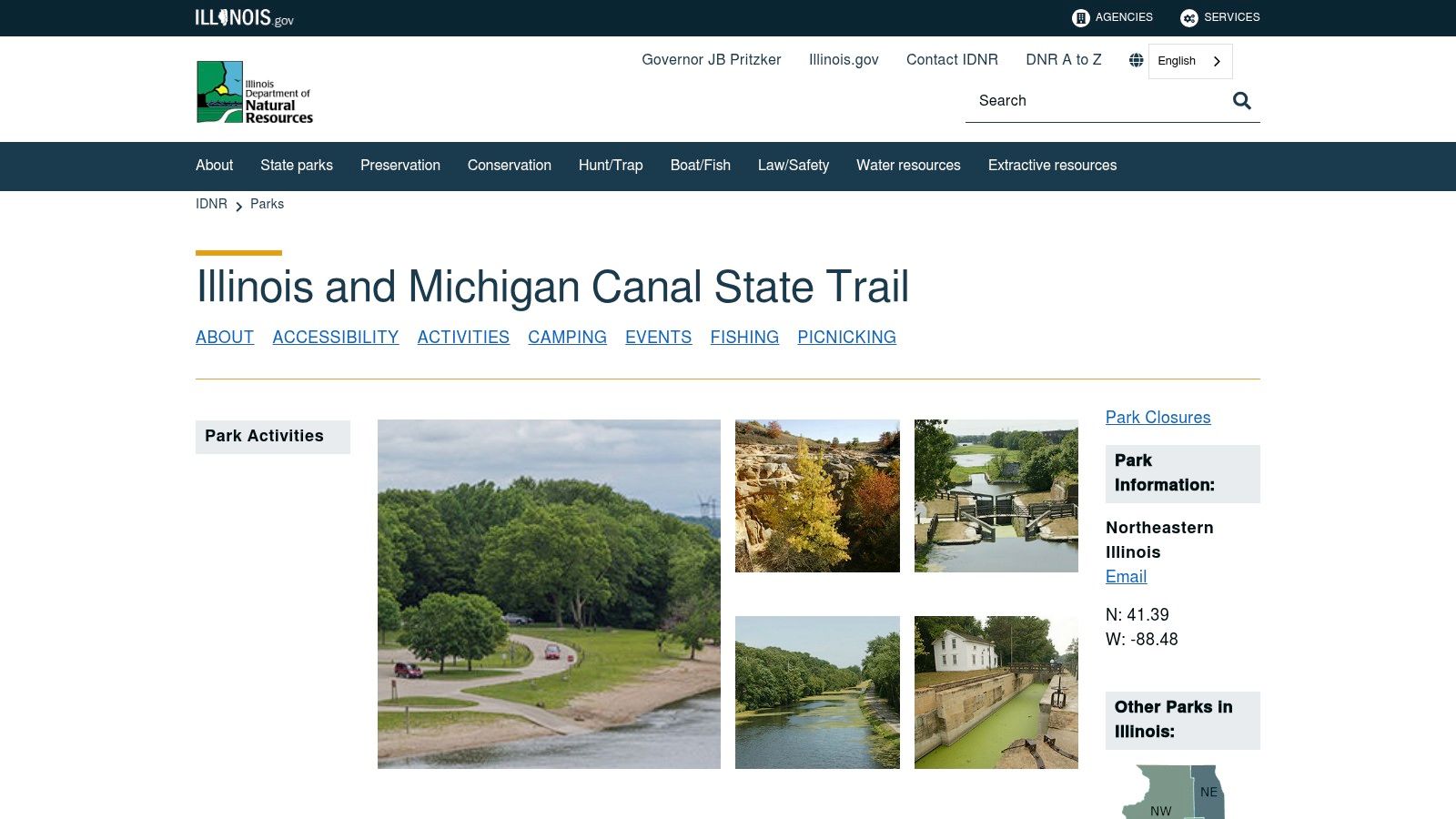
- Trail Map & Guide: The site offers a downloadable map and guide that is essential for your trip. I used it to identify trailheads, parking areas, and points of historical interest like the Gebhard Woods and Channahon State Parks.
- Park Information: You can find specifics on the various state parks that the trail runs through. This helps you plan where to stop for restrooms, picnics, or just a scenic break. These parks are the main hubs for services along the trail.
- Trail Conditions: The DNR site is the place to check for any official alerts on trail status. Given the limestone surface, I always recommend checking for updates after heavy rain, as some sections can become soft and muddy.
Why It Belongs at #5
The I&M Canal State Trail earns its spot as a top bike trail in Illinois because it offers a unique blend of history, endurance, and natural beauty. It’s one of the best places in the state for a gravel bike or a long, uninterrupted ride away from city noise. The flat, consistent terrain is perfect for building mileage, while the historical artifacts provide a constant source of fascination. Though you need to be self-sufficient with water and snacks between towns, the sense of accomplishment and connection to Illinois's past is incredible. The trail also passes through some beautiful natural areas, and if you’re inspired by the trail’s journey through state parks, you can find out more about your local forest preserve in IL and its unique ecosystems.
Visit the DNR's I&M Canal State Trail Page
6. North Branch Trail System
If the Lakefront Trail is the city's pulse, the North Branch Trail System is its deep, calming breath. This is where you go to escape the concrete. You can feel the deep shade of a true forest canopy. The trail follows the meandering North Branch of the Chicago River, creating a green corridor that feels worlds away from the city's hustle. I’ve spent countless hours on this trail, watching deer graze in the early morning and listening to the rustle of leaves instead of the roar of traffic. It's a journey through serene woodlands, past tranquil lagoons, and all the way to the curated beauty of the Chicago Botanic Garden.
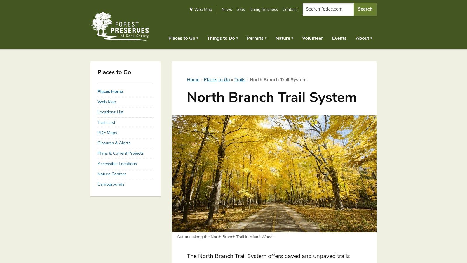
One of my favorite memories is packing a simple picnic and riding from the city's edge to the Skokie Lagoons. We spent the afternoon just watching kayakers paddle by. We felt completely disconnected from our daily routines. The North Branch Trail isn’t just a path. It's a transportive experience, a reminder of the wild, natural beauty that coexists with our urban environment. It's the perfect place for a long, meditative training ride or a slow, exploratory family outing.
Planning Your Ride
The Forest Preserves of Cook County (FPCC) website is your guide for this woodland adventure. While the site covers the entire county's vast network, it provides all the necessary details for tackling the North Branch Trail.
- Interactive Maps: The FPCC's interactive web map is great for seeing the whole system at a glance. I use it to locate specific trailheads, picnic groves, and restrooms along the nearly 20-mile main spine. You can see how the loops and spurs connect, which helps in planning a ride that's just the right length.
- Trail Information: The site lists key access points, mileage, and surface types. This is essential because while the main trail is paved, some connectors and loops are crushed stone, so you can choose your route based on your bike and comfort level.
- Permits & Alerts: Before you go, it's smart to check for any trail closures, especially during spring thaws or after heavy rains which can cause flooding in low-lying areas near the river.
Why It Belongs at #6
The North Branch Trail System earns its spot as a top bike trail in Illinois for offering a genuine, car-free forest escape that’s incredibly accessible to millions of city and suburban residents. Its tree cover provides welcome relief from the summer sun and wind, making it a reliable and comfortable ride. The direct, seamless access into the Chicago Botanic Garden is a unique feature that turns a simple bike ride into a full day's destination. While it gets busy near popular groves and the Botanic Garden entrance on weekends, the trail's length provides plenty of space to find your own quiet stretch. The trail is free, but your access is limited to daylight hours, from sunrise to sunset.
Visit the FPCC's North Branch Trail System Page
7. Tunnel Hill State Trail
If Illinois has a ride that feels like a true backcountry adventure, this is it. The Tunnel Hill State Trail is a journey into the wild heart of Southern Illinois, a 45-mile gravel path that cuts through the forests and wetlands of the Shawnee Hills. Riding here is a complete escape. The only skyline you see is made of ancient bluffs and towering oak trees. I remember my first time approaching the namesake tunnel. The air grew cool. The world outside faded into a pinprick of light as I plunged into the 543-foot darkness. It's moments like that, surrounded by the quiet sounds of nature and the crunch of gravel under your tires, that make this trail so special.
This isn't a quick urban loop; it’s a destination. You feel a real sense of accomplishment as you cross the two dozen trestle bridges, some soaring high above the canopy, offering views that stretch for miles. It’s a place for long, contemplative rides where you can challenge your endurance and reconnect with a quieter, more rugged side of the state.
Planning Your Ride
The Illinois Department of Natural Resources (DNR) website is your go-to guide for preparing for a Tunnel Hill expedition. It’s a straightforward, facts-first resource that gives you all the critical details for a safe and successful trip.
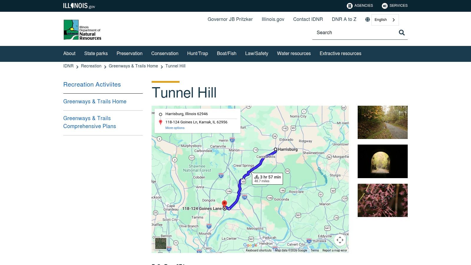
- Trail Map & Access: The site offers a detailed map showing the main trail from Harrisburg to Karnak, plus access points and facilities along the way. I use this to plan my entry point and decide how long of a segment I want to tackle.
- Facilities & Rules: You'll find a clear list of what's available at each trailhead, like parking, water, and vault toilets. Critically, it also outlines trail rules, like the requirement for a bright headlight and taillight for navigating the unlit tunnel.
- Regional Connections: I noticed the DNR page mentions the trail's connection to larger routes like the River-to-River Trail and the American Discovery Trail, which is perfect for planning multi-day bike-packing adventures.
Why It Belongs at #7
The Tunnel Hill State Trail earns its spot as a premier bike trail in Illinois by offering an unmatched long-distance gravel experience. Its gentle railroad grade makes it accessible to most endurance levels, while its remote character provides a genuine sense of adventure that you just can't find on a city path. While you need to be self-sufficient with water and repair kits, and a bike with wider tires (I’d suggest at least 32mm) is a must, the payoff is immense. It's a free trail, open year-round, that invites you to lose yourself in some of the state's most stunning natural landscapes.
Visit the DNR's Tunnel Hill State Trail Page
7 Illinois Bike Trails Comparison
| Trail | 🔄 Implementation complexity | ⚡ Resource requirements | 📊 Expected outcomes | 💡 Ideal use cases | ⭐ Key advantages |
|---|---|---|---|---|---|
| Chicago Lakefront Trail | Low — fully developed, mostly separated lanes; clear signage | Urban/road or hybrid bike; minimal gear; frequent services & transit access | Scenic waterfront rides; reliable commuting; can be crowded on warm weekends | Commuting, fitness, sightseeing | Continuous 18-mile lakefront path; abundant amenities and transit links |
| Illinois Prairie Path | Medium — multi-branch crushed‑limestone network; some at‑grade crossings | Hybrid/gravel or wider tires; moderate upkeep; strong volunteer maintenance | Long, low‑stress suburban rides with town connections | Endurance suburban rides, connectors between towns/trails | 60+ mile network; strong stewardship; many town access points |
| Fox River Trail | Medium — riverside corridor with bridges and occasional detours | Road/hybrid bike; services in towns; wayfinding available | Varied scenery and easy mileage; family‑friendly; busy in popular towns | Family/group rides, scenic tours, stops at river towns | River views, town amenities, strong regional connections |
| Cal‑Sag Trail | Medium — long paved corridor with some road crossings and open stretches | Road/fitness bike; services spread out — plan for supplies | Steady training mileage; less tourist traffic; windy/open sections possible | Training rides, longer steady efforts, organized group rides | 26‑mile continuous paved greenway; good connectivity to regional trails |
| I&M Canal State Trail | Medium — long crushed‑limestone towpath with historic infrastructure; some soft segments after rain | Gravel/fitness bike with wider tires; carry water and spares; limited services between towns | History‑rich bike‑packing and day trips; consistent endurance surface | Bike‑packing, history‑centric trips, long day rides | 61.5 miles of towpath; historical features and state park facilities |
| North Branch Trail System | Low–Medium — paved main spine plus loops and connectors; many access points | Road/hybrid bike; easy access to parking/transit; family facilities | Shaded forest rides; good training and family outings; weekend congestion near attractions | Family rides, training, nature outings, botanic garden visits | Car‑free forest riding; multiple loops and abundant access points |
| Tunnel Hill State Trail | Medium — long gravel rail‑grade with tunnel and many trestles; remote stretches | Gravel/32mm+ tires; lights for tunnel, water and spares; limited services | Highly scenic long gravel experience; ideal for bike‑packing; remote sections | Gravel touring, bike‑packing, scenic endurance rides | Signature 543‑ft tunnel and 20+ trestles; gentle grades through Shawnee hills |
Become a Trail Guardian With Us
We’ve journeyed together across the state. From the shimmering edge of Lake Michigan to the deep, cool quiet of a southern Illinois tunnel. You've seen the urban energy of the Chicago Lakefront Trail, the pioneering spirit of the Illinois Prairie Path, and the serene flow of the Fox River Trail. We've explored the industrial rebirth along the Cal-Sag, traced history on the I&M Canal, found woodland peace on the North Branch, and discovered the unique thrill of the Tunnel Hill State Trail. Each bike trail in Illinois is more than just a path. It's a story. A living artery pumping life, health, and connection through our communities.
Riding these trails always brings me back to a core belief I hold dear, one that fuels our work at Litter Caterpillars: service to our environment is really service to ourselves. It's about a deep, meaningful connection. Think of it like tending a garden. You don't just plant the seeds and walk away. You water them. You pull the weeds. You nurture the soil. The reward isn't just the eventual harvest, but the act of caring itself. It grounds you and makes the final bloom that much sweeter.
From Rider to Guardian: Your Next Adventure
So, how do you go from simply using a trail to truly connecting with it? It starts with a simple shift in perspective. You're not just a visitor passing through; you're part of its ecosystem. Here are a few ways you can start your own journey as a trail guardian:
- The One-Bag Challenge: The next time you gear up for a ride, tuck a small, foldable bag and a pair of gloves into your pack. As you ride, or when you stop for a water break, take just two minutes to pick up any litter you see. It sounds small, but imagine if a hundred riders did this on a single Saturday. The impact is huge. It’s an immediate, tangible way you can say "thank you" to the path that carries you.
- See with New Eyes: You must begin to notice the details. Is there a section where water is eroding the path? Is there an invasive plant species creeping in? You don't have to be an expert to observe. Simply being aware is the first step. I believe sharing these observations with local park districts or trail authorities can provide them with valuable on-the-ground information they might not have.
- Share the Story: Your experience on a bike trail in Illinois has power. When you get home, don’t just post a picture of your bike. Tell the story of the trail. Talk about the wildlife you saw, the kindness of a fellow rider, or the sense of peace you found. I think inspiring others to appreciate these places is a powerful form of stewardship.
Finding Your Path, Finding Your Purpose
Every one of these trails tells a story. They are veins of joy, health, and connection for our communities. But like any precious resource, they need our care. This isn't just about keeping things clean. It's about strengthening our connection to these places, about earning our right to enjoy them. It's about changing ourselves by changing our surroundings.
When you're out there, feeling the wind and the burn in your legs, what if you also felt a sense of ownership? A sense of pride? I challenge you to see the trail not just as a route, but as a place you can give back to. Find your trail, find your rhythm, and find a way to leave it a little better than you found it. That’s the real adventure.
Ready to turn your inspiration into action? Join us at Litter Caterpillars. We organize community cleanups along many of these trails and the parks they connect, making it easy and fun to give back to the places you love. Find your next volunteer adventure and become part of a community that cares at Litter Caterpillars.