
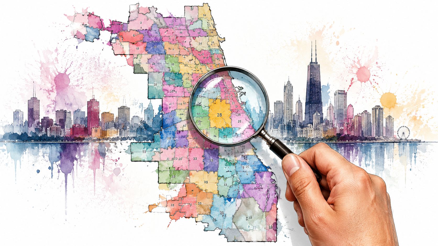
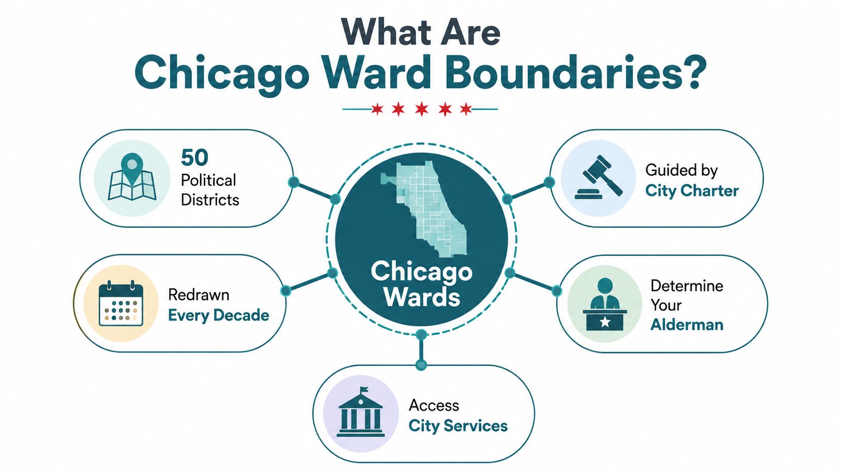
Chicago ward boundaries divide the city into 50 official geographic divisions, with one alderman representing each ward, and the modern 50-ward structure has existed since 1923. Your ward helps determine who represents your address, where you vote, and how you access city services.
Which ward are you in right now? Many Chicagoans can name their neighborhood, their nearest train station, and the street where the sidewalk suddenly changes, yet they can't place their home inside a ward line. That confusion makes sense because ward boundaries rarely follow the names people use in everyday conversation.
I've found the easiest way to understand a ward is to treat it like a service and representation zone. A boundary on a map becomes practical when you need the right alderperson's office, want to organize a cleanup, or need to understand why a nearby block belongs to a different political district.
What Are Chicago Ward Boundaries and Why Should You Care
A resident might search for an alderman after seeing a damaged curb, then pause because two nearby addresses appear to have different representatives. The resident knows the neighborhood, but the neighborhood name doesn't answer the ward question. Chicago's official ward system does.
Chicago has 50 wards, and each ward has one alderman. The city created the modern 50-ward structure in 1923, after earlier changes that followed the city's growth and annexation. Chicago had three districts in 1837, then expanded through several ward counts before reaching 50 wards by 1923. You can read the historical sequence in this history of Chicago's ward system.
A ward boundary tells you which alderperson represents your address. It also helps you identify the correct voting information and gives you a starting point for questions about local services. If you're planning a block cleanup, reporting recurring dumping, or asking about a sidewalk issue, the ward gives you a practical political contact.
The line matters at street level
The map can affect how you organize work. A cleanup route that crosses a ward line may involve two alderpersons' offices, separate outreach lists, or different reporting notes. The line doesn't change the pavement under your shoes, but it changes who receives your request and how you record the work.
That makes ward knowledge part of civic engagement. You don't need to memorize all 50 wards. You need to identify your own ward, confirm the current map, and know when a nearby block falls outside your service area.
Practical rule: Treat the ward as your first contact map, then check precinct and neighborhood boundaries separately.
How Chicago Ward Boundaries Work and Who Draws Them
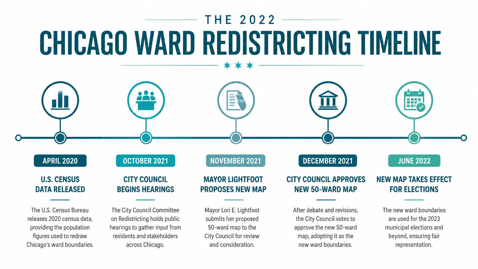
Who decides whether your block belongs to one ward or another? Chicago redraws its ward map after each U.S. decennial census. Population shifts require the city to adjust boundaries so wards remain close in population, and the redistricting code requires the City Council to complete the map by December 1 of the year after the census. The City of Chicago's ward information describes the map and the redistricting process.
The City Council draws and approves the map. Under the city's redistricting information and legal rules, wards should be as compact and contiguous as practicable and have substantially equal populations. Mapmakers also consider communities of interest and other valid objectives.
At street level, those terms are easier to understand. A contiguous ward connects across its territory instead of splitting into separate pieces. Compactness discourages long, awkward shapes, while equal population keeps one ward from becoming much larger or smaller than another. Communities of interest recognize shared local ties, such as residents who use the same commercial corridor, park, or transit route.
Why familiar places can move
A neighborhood name does not determine the ward line. A boundary may run along an avenue, cross at an intersection, or turn around a cluster of blocks as population patterns and legal requirements change. Your neighborhood identity can stay the same even when the alderperson's office serving your address changes.
The city's boundary files include effective dates, including a 2015-2023 file and a 2023-onward file. Match the file to the period you are studying. A cleanup volunteer comparing an older route log with today's map could assign a block to the wrong ward if the date is ignored.
For community groups, the ward is a working map layer. Volunteers can divide cleanup routes by ward, coordinate with another alderperson's office when a route crosses the line, and direct residents to the right contact for service questions. The boundary turns census changes into practical decisions about contact lists, service areas, precinct comparisons, and shared neighborhood work.
The Redistricting Timeline and the 2022 Map Change
Which ward serves an address can change even when the building stays put. Chicago's most recent major remap followed the 2020 census cycle. City rules require the Council to redraw ward boundaries by December 1 of the year after the census. The Council approved the new map on May 16, 2022, by a 43-7 vote. The city's official ward map information provides the boundary materials for reviewing that change.
The map took effect for the 2023 municipal election cycle and preserved Chicago's 50-ward structure. That timing matters when volunteers compare an older cleanup sign-up sheet with a current route plan. A block can have the same address, residents, and neighborhood identity while belonging to a different ward in the newer map.
What changed in representation
The approved plan created 14 Latino-majority wards, 16 Black-majority wards, 1 Black-plurality ward, and Chicago's first Asian-majority ward. Those changes show why a ward map is more than a set of lines. It affects which communities are grouped together for representation and which alderperson's office a resident or volunteer may contact.
The remap also followed population equality, compactness, and contiguity requirements. Read the result in two ways: geography shows where the line runs, while representation shows how the remap changes the communities grouped within each ward.
How to read an older map
Use three checks before relying on any version:
- Check the effective date. Identify whether it covers the 2023-onward period or an earlier one.
- Check the purpose. Ward, precinct, neighborhood, and police district maps answer different questions.
- Check the source. Use official boundary files for GIS analysis, service routing, or historical comparison.
The 2023 Chicago ward boundaries dataset records the current remap for data users. Save that file with a cleanup route, cross-ward volunteer plan, or neighborhood resource list so others can see which boundary version guided the work.
How to Find Your Ward and Your Alderman Right Now
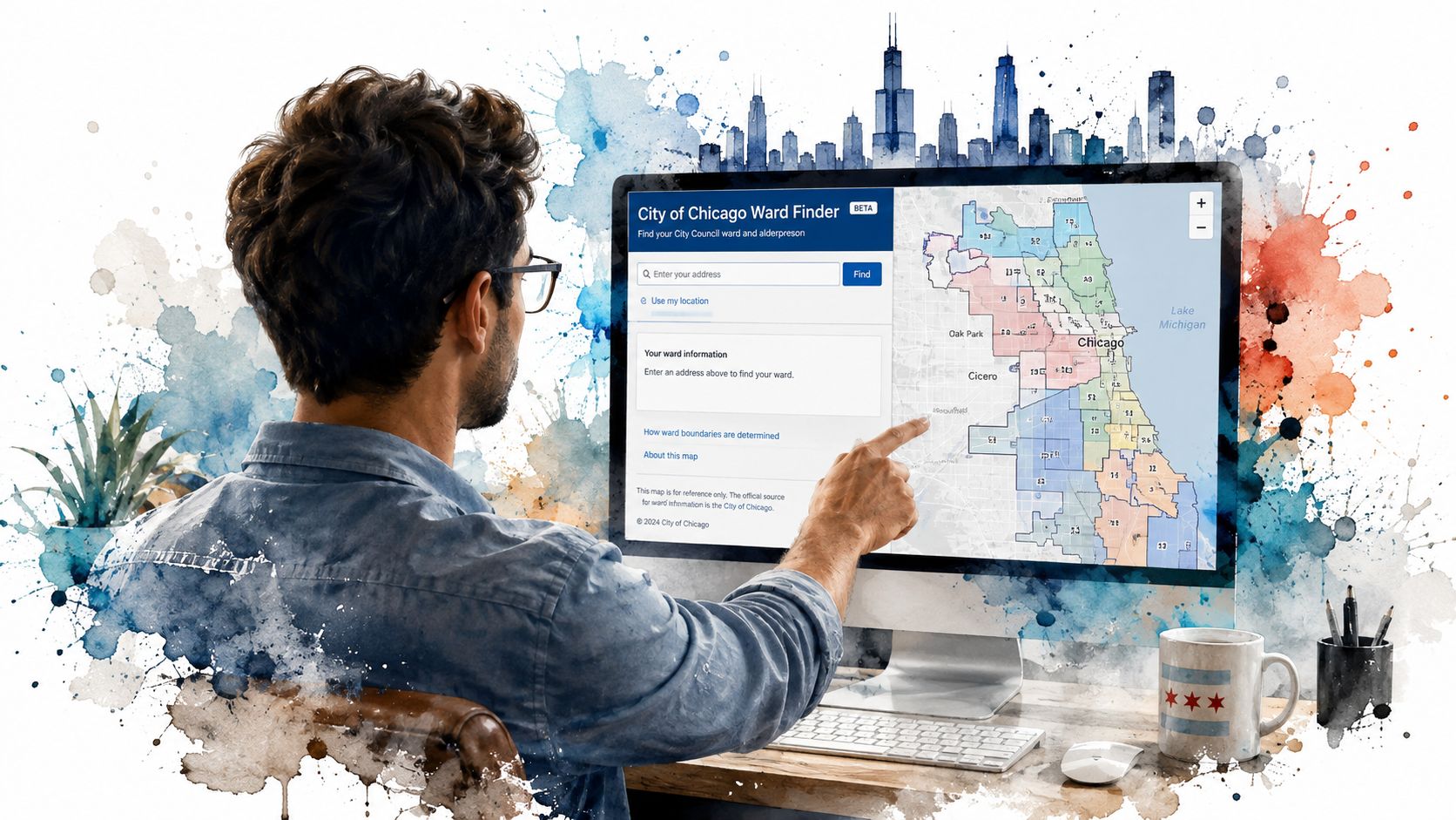
Start with your address, not your neighborhood name. Type the street address into the City of Chicago's official ward lookup tool, then verify the ward number shown for that location. If you're checking a corner, test both addresses because a boundary can run close to an intersection.
Next, use the City Clerk's interactive GIS maps if you want to inspect the line visually. The city's data portal also lets you explore official geographic files and download boundary data for mapping work. You can compare the result with a broader Northeastern Illinois map when you need regional context, but use the city's ward file for the actual ward assignment.
A simple lookup routine
- Enter the full address: Include the street number, direction, street name, and ZIP code when the tool requests them.
- Record the ward number: Save it with the address and the date you checked.
- Find the alderman: Search the Chicago City Council site by ward number, then open the alderman's official page for contact details and office information.
- Confirm the map vintage: Use the 2023-onward file for current work, and use an older file only when your project studies an earlier period.
Don't assume a ward change automatically changes your precinct. Newer election data shows that precinct boundaries also changed in 2025-2026, while only two ward precinct pairs changed mutual boundaries and all other precincts remained the same, according to the 2025 ward and precinct boundary dataset.
That distinction helps with election planning. Your ward may determine your alderman while your precinct information handles a different part of voting logistics. Check each boundary type for the question you're asking.
Why Ward Boundaries Matter for Neighborhood Organizing
A ward gives a volunteer group a clean way to divide work. Suppose you want to clean a long commercial corridor. You can place the route on the ward map, identify which blocks sit inside each ward, and prepare contact notes for the relevant alderperson's office. The map turns a vague citywide goal into manageable territory.
The same method works for neighborhood resource navigation. A group can record where residents report litter, damaged sidewalks, missed collections, or park concerns, then sort those observations by ward. The Chicago Data Portal provides public datasets and mapping tools that can help residents examine city information around a location.
Keep the boundaries separate
Neighborhood identity and ward geography don't always match. A neighborhood can cross a ward line, and a single ward can contain several areas with different names and local concerns. Police districts and precincts follow their own geography too.
Use this division of labor:
| Question | Boundary to check |
|---|---|
| Who represents this address on City Council? | Ward |
| Where do I handle election logistics? | Precinct and election information |
| How do residents describe this area? | Neighborhood identity |
| Which police service area applies? | Police district or beat |
| How should volunteers divide a cleanup route? | Ward, then block and safety conditions |
A cleanup team can use one ward as its outreach unit while still honoring the neighborhood's own identity. If a route crosses a boundary, the team can split its notes, assign separate contacts, and report the work accurately.
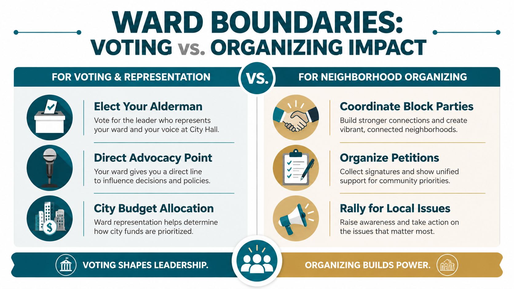
A ward map helps you answer, “Who do we contact?” A neighborhood map helps you answer, “Who already calls this place home?”
That difference prevents a common organizing mistake. Volunteers can work across a neighborhood while coordinating separately with the wards that contain it.
Real Examples of Ward-Based Community Action in Chicago
Consider a cleanup route that begins on one side of a ward boundary and ends on the other. The crew may see one continuous stretch of litter, yet the group's records should identify the blocks separately. That small habit helps volunteers contact the right aldermanic office, describe the exact area, and compare work across routes without mixing locations.
A larger cleanup creates another problem. If volunteers assign routes by neighborhood name alone, two teams may cover the same familiar blocks while skipping a less visible edge. A ward map gives the coordinator another grid. The coordinator can assign a starting point, a boundary crossing, and a return route, then ask each team to report the blocks it covered.
Cross-ward coordination in practice
Litter Caterpillars has cleaned all 50 wards of Chicago, according to the organization's public description. That kind of citywide work requires volunteers to treat ward geography as a working reference, especially when a route moves between neighborhoods or crosses political boundaries.
A group can build a simple field sheet with:
- Starting intersection: Where the team begins.
- Ward assignment: Which ward contains each block.
- Contact note: Which aldermanic office receives follow-up.
- Service observation: What volunteers saw, including recurring litter or access problems.
- Completion record: Which blocks the team covered and which need another visit.
This approach also helps residents find gaps. If one ward produces repeated litter complaints while nearby areas receive little volunteer attention, the difference may point to a route-planning problem, a reporting gap, or a service need that deserves a closer look. The map doesn't explain the cause by itself. It helps you ask a more precise question.
A boundary can also guide cross-ward partnerships. Two groups can meet at the line, divide the route, and share a final record that shows where each team worked. Volunteers keep the neighborhood connected while giving each ward its own contact path.
Get Involved and Start Cleaning Your Ward Today
You now have a practical map-reading routine. Find your address, confirm the current ward, identify the alderman, and check precinct information separately when the question involves voting logistics. For organizing, save the boundary vintage, divide routes by block, and record every boundary crossing.
That preparation makes a cleanup easier to coordinate. Volunteers can gather at a clear starting point, assign routes that don't overlap, and send useful follow-up instead of a general message about “the neighborhood.” A ward number gives the group a shared reference before anyone picks up a bag.
You can also use civic engagement opportunities to find a practical way to move from map knowledge to local action. Litter Caterpillars operates across all 50 wards, meets weekly in different conditions, and connects cleanup work with friendship and community building. Its Caterpillar Park project in Englewood shows how consistent volunteer effort can turn an overlooked lot into a place with a community purpose.
Your first cleanup plan
- Look up your ward by address.
- Choose a route that stays easy for the group to monitor.
- Mark any block where the ward line changes.
- Invite neighbors who know the area.
- Record what you cleaned and what still needs attention.
You don't need a perfect map before you begin. You need a correct starting address, a safe route, and a habit of recording where the work happened. Once you know your ward, you can help your neighbors find their way around the city with more confidence and make your volunteer time easier to coordinate.
Litter Caterpillars gives Chicago residents a way to join weekly cleanup work across the city's wards, meet neighbors, and turn ward maps into real street-level action. Find your ward, choose a cleanup route, and visit Litter Caterpillars to join the next opportunity.
Leave a Reply